
 Nana Muazin
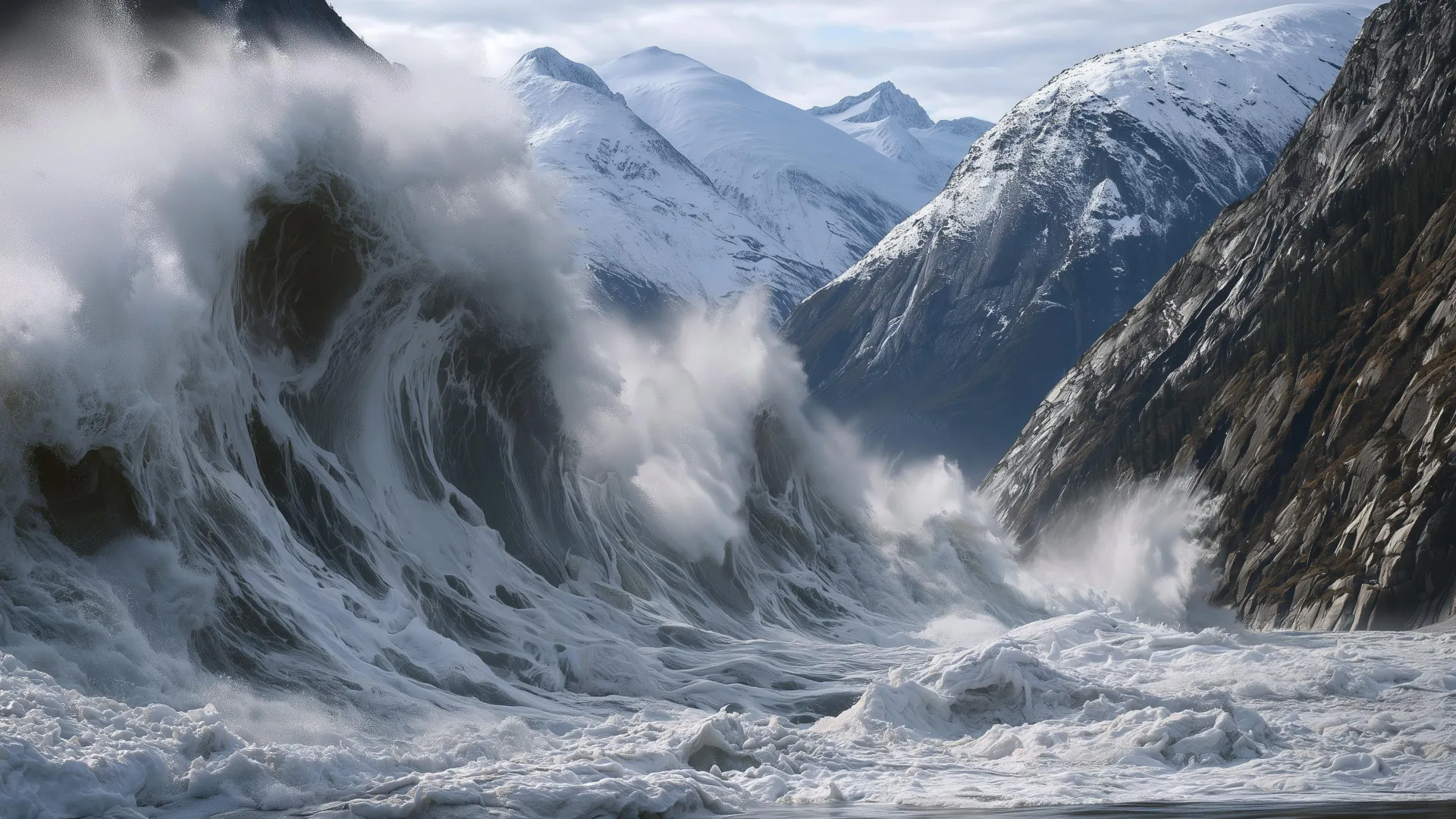
On the evening of August 9, 2025, the Hanse Explorer glided through the serene, icy waters of Alaska’s Tracy Arm. For the passengers aboard, it was a quintessential bucket-list experience; cameras clicked, and drones whirred as they captured the majestic face of the South Sawyer Glacier. By all accounts, it was a day of crystalline beauty.
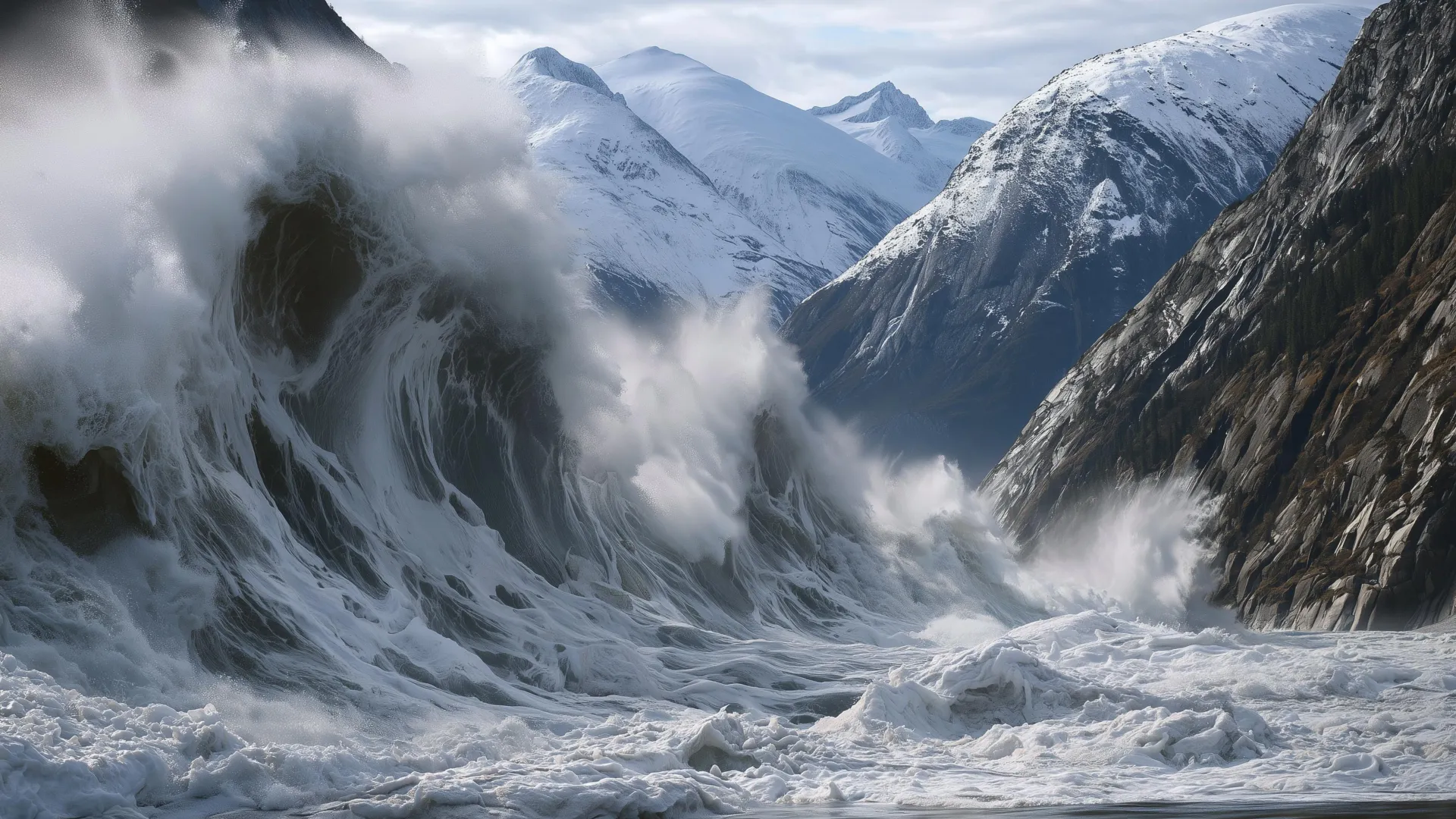
Yet, beneath the surface of that tranquility, the mountain was breathing its last. Twelve hours later, the side of the adjacent fjord collapsed in a catastrophic landslide, plunging millions of tons of rock into the water. The resulting displacement of water created the second-highest tsunami in recorded history, sending a wall of debris and liquid 1,580 feet (481 meters) up the opposite canyon wall—a height exceeding the pinnacle of the Taipei 101 skyscraper.
The Anatomy of a Mega-Tsunami
The collapse at Tracy Arm was not a freak occurrence, but a harbinger of a new geological era in the Arctic. As state seismologists and researchers at the Alaska Earthquake Center, we have spent months analyzing the seismic signatures of that morning. What we found was a violent, scouring event that stripped the fjord’s walls down to bare, polished bedrock.
The landslide occurred during a "perfect storm" of environmental conditions. August 2025 was characterized by unusually warm ocean waters and intense, heavy precipitation. In the two months preceding the collapse, the South Sawyer Glacier had retreated more than a third of a mile. This rapid calving—the process of massive ice chunks breaking away—left the mountain slopes unsupported. When heavy rains saturated the rock fractures, the resulting water pressure acted as a lubricant, pushing the slope toward a critical point of failure.
Chronology of a Collapse
The disaster did not happen without warnings, though those warnings went unheeded because the infrastructure to interpret them did not exist.
- June–July 2025: The South Sawyer Glacier experiences accelerated retreat, leaving steep, unstable valley walls exposed to the elements.
- Early August 2025: Intense rainfall begins to saturate mountain fractures, significantly increasing pore-water pressure.
- August 8–9, 2025: Thousands of small, low-magnitude seismic tremors emanate from the mountain, signaling that the structural integrity of the slope is failing.
- August 9, 2025 (Evening): The Hanse Explorer and other vessels transit the fjord, unknowingly passing beneath a mountain on the verge of collapse.
- August 10, 2025 (5:00 AM): The slope gives way. The landslide hits the water, generating a mega-tsunami that surges 1,580 feet up the opposing cliffside and tears through the fjord.
- Post-August 2025: Cruise lines begin adjusting their itineraries, avoiding the Tracy Arm area as the reality of the hazard settles in.
Supporting Data: A Global Pattern
The Tracy Arm event is merely one chapter in a growing global narrative. Across the Arctic—from the rugged coasts of Alaska to the fjords of Greenland and Norway—we are witnessing a curious and alarming pattern: major landslides are occurring with increasing frequency precisely at the terminus of retreating glaciers.
The mechanics are rooted in the loss of "buttressing." For millennia, massive glaciers supported the valley walls. As climate change forces these glaciers to retreat, the mountainsides are suddenly stripped of their structural support. When this phenomenon meets the "rapid uplift" caused by tectonic forces and the rebound of the Earth’s crust following ice loss, the result is a landscape in constant, dangerous flux.
Research indicates that once a large landslide initiates, it is possible to detect the event within two minutes using seismic arrays. By measuring the seismic waves, scientists can estimate the volume of the rockfall and determine if it poses a tsunami threat. However, currently, there is no centralized, real-time monitoring system capable of translating this data into public safety alerts in the United States.
The Case for an Escalating Alert System
If we had possessed a functional monitoring program, we believe we could have issued progressive alerts at least 24 hours prior to the Tracy Arm collapse. Drawing inspiration from existing frameworks—such as those used for volcanic unrest, nuclear plant safety, and avalanche warnings—we propose a three-tiered "Yellow-Orange-Red" system.
The Yellow Alert: The General Hazard
The combination of sustained heavy rain and rapid glacial retreat in early August 2025 would have triggered a "Yellow Alert." This would have signaled to tour operators, maritime authorities, and local businesses that the hazard levels were elevated and that the region should be approached with extreme caution.
The Orange Alert: The Imminent Threat
In the hours before the collapse, the exponential increase in seismic events and the transition to a continuous "hum" of seismic energy (known as seismic tremor) provided a clear, time-sensitive warning. This should have triggered an "Orange Alert," effectively acting as a "no-go" order for ships in the fjord.
The Red Alert: The Event in Progress
Once the landslide occurs, the system would shift to a "Red Alert." While this would be too late to prevent the initial surge for those in the immediate vicinity, it would provide vital seconds or minutes for people in lower-risk areas further down the fjord to seek higher ground or move away from the shoreline. The National Oceanic and Atmospheric Administration (NOAA) has spent decades perfecting the dissemination of tsunami warnings; integrating landslide detection into this existing architecture is the logical next step.
Implications for the Future of Arctic Tourism
The irony of this crisis is that the very features that draw millions of visitors to the Arctic—the towering, steep-walled fjords, the dramatic calving glaciers, and the raw, untamed geology—are the exact features creating the hazard.
We are not advocating for the total abandonment of these majestic landscapes. Rather, we are calling for a transition from a culture of "unknown risk" to one of "informed decision-making."
Challenges to Implementation
Building a comprehensive landslide monitoring system is a Herculean task. It requires:
- Inter-agency Cooperation: A unified effort between the U.S. Geological Survey, NOAA, and state authorities to share data in real-time.
- Infrastructure Investment: Expanding the network of seismometers and high-resolution imaging in remote, glaciated regions.
- Public Awareness: Educating tour operators and tourists that "safety" in the wilderness is not a static guarantee, but a dynamic, managed condition.
A New Standard of Stewardship
The collapse at Tracy Arm has forced a reckoning. The cruise industry has already begun to shift its routes, but avoidance is not a sustainable long-term strategy for local economies dependent on tourism.
By investing in geophysical monitoring, we can provide the "early warning" that turns a potential tragedy into a manageable risk. If an alert system had been active on August 9, 2025, it would not have stopped the mountain from falling—nothing could—but it would have ensured that the Hanse Explorer and its passengers were miles away when the water began to rise.
The Arctic is changing. Our methods for monitoring it must evolve at the same pace. As we continue to push into the last corners of the wild, our obligation is to ensure that those who seek to witness nature’s beauty are equipped with the knowledge to survive its power. The mountains are no longer silent; it is time we learned how to listen.


 Layla Zulfa
 Neng Nana

 Nila Kartika Wati

 Jia Lissa
 Nana

 Rifan Muazin
