
 Ammar Sabilarrohman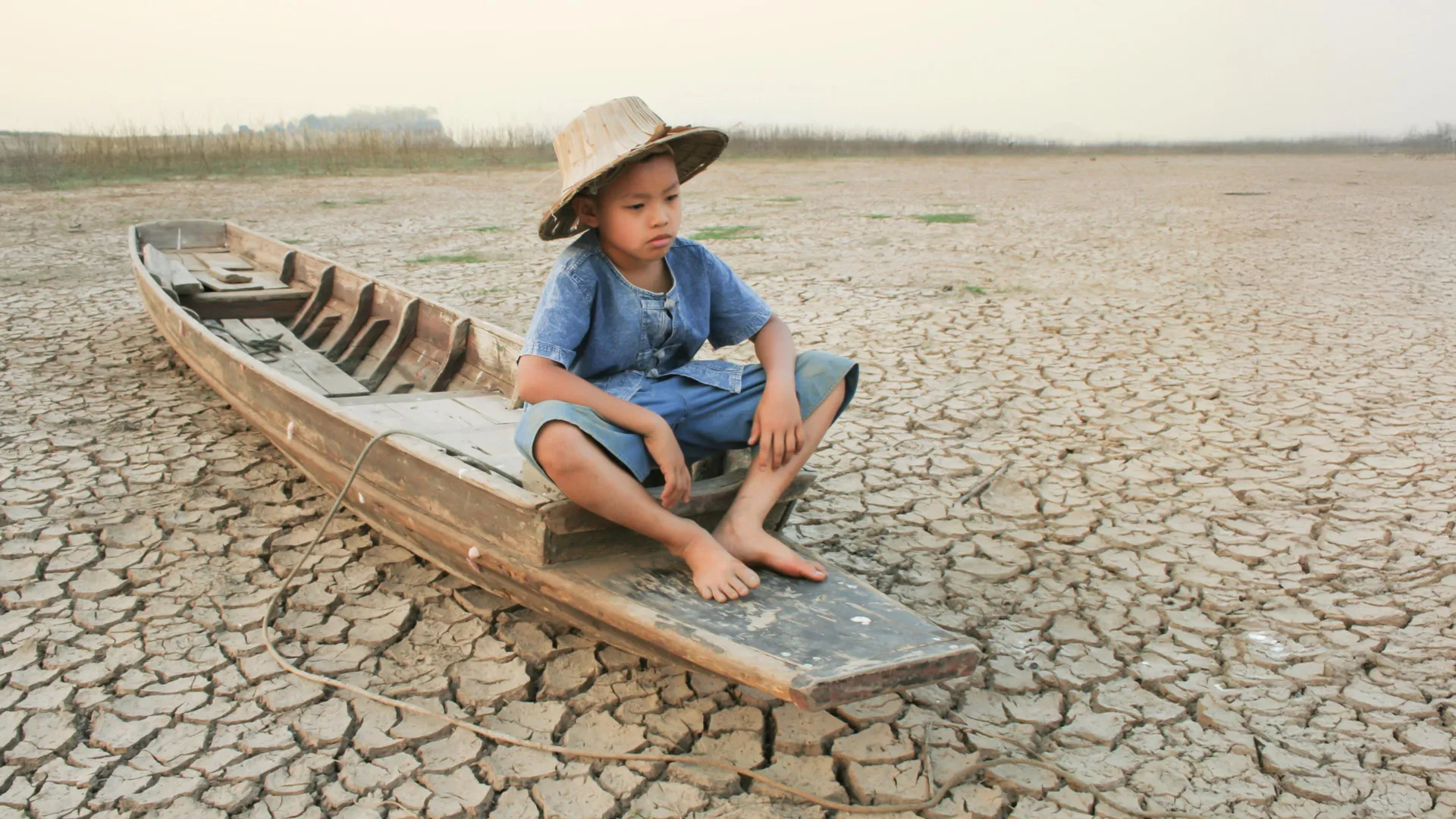
The "Asian Water Tower"—a vast, jagged expanse of glaciers, snowpacks, and high-altitude aquifers spanning High Mountain Asia (HMA)—is undergoing a silent, subterranean crisis. A groundbreaking study recently published in Environmental Research Letters reveals that the groundwater reserves beneath this massive region are shrinking at a rate of 24.2 billion tonnes per year. This decline threatens the water security of hundreds of millions of people across more than a dozen nations, serving as a stark warning of the intersection between climate change and unsustainable human consumption.
The study, led by Professor Shudong Wang of the Aerospace Information Research Institute at the Chinese Academy of Sciences (AIRCAS), utilizes a sophisticated fusion of satellite remote sensing and artificial intelligence to map a resource that has historically been notoriously difficult to track. By quantifying two decades of data, researchers have provided the most granular look yet at the depletion of an essential resource that sustains agriculture, cities, and fragile ecosystems throughout Asia.
Main Facts: The Scope of the Crisis
The HMA region, which encompasses the Tibetan Plateau and surrounding mountain ranges like the Himalayas, the Pamir, and the Hindu Kush, acts as the primary reservoir for the continent’s major river systems. The recent research confirms that between 2003 and 2020, approximately two-thirds of the HMA experienced a significant reduction in groundwater storage (GWS).
The depletion is not uniform, but the consequences are felt most acutely in the densely populated downstream basins. The Ganges-Brahmaputra, Indus, and Amu Darya basins—the breadbaskets of South and Central Asia—have recorded the most dramatic losses. In these regions, groundwater is not merely a backup supply; it is the lifeblood of intensive irrigation systems that support the food security of a significant portion of the global population.
The loss of 24.2 billion tonnes annually is an staggering figure, highlighting the speed at which these reserves are being exhausted. While mountain regions are often viewed as water-abundant, the study emphasizes that the underground aquifers, which act as a vital buffer during dry seasons, are being drained faster than they can be replenished.
Chronology: Two Decades of Subterranean Change
To understand the trajectory of this depletion, the AIRCAS team reconstructed the hydrological history of the region from 2003 to 2020. This longitudinal analysis provides a clear timeline of the factors that have transformed the HMA’s water landscape.
2003–2010: The Era of Climate Primacy
In the early years of the study period, climate-driven factors, particularly the cryosphere’s response to rising temperatures, were the primary drivers of groundwater variability. As glaciers retreated and snow patterns shifted, the natural recharge rates of high-altitude aquifers were disrupted. During this phase, the interplay between precipitation and meltwater defined the groundwater levels.
2010–2020: The Rise of Anthropogenic Depletion
The study identifies a pivotal shift after 2010. While climate-related forces continued to account for nearly half of the groundwater variation, human withdrawals for agricultural irrigation became an increasingly dominant driver of depletion. As downstream populations expanded and industrial agricultural practices intensified, the reliance on groundwater shifted from a supplementary necessity to a primary source of extraction. The data shows that the correlation between human water use and groundwater decline strengthened significantly during this decade, suggesting that local water management policies are no longer keeping pace with consumption demands.
Supporting Data: The Power of Explainable AI
The success of this study hinges on a novel methodological framework that overcomes the historical "blind spots" of hydrological research in HMA. Measuring groundwater in high-altitude, rugged terrain has long been hampered by a lack of ground-based observation wells and the physical complexity of mountainous catchments.
The Technological Architecture
The research team employed a "lightweight Transformer architecture," a type of artificial intelligence model designed to handle sequential data with long-range dependencies. This was essential for accounting for "hydrological memory"—the concept that water absorbed by the soil today may not reach the aquifer for months or even years. By incorporating this delay effect, the model provided a much more accurate simulation of how mountain catchments store and release water.
Validation and Reliability
To ensure the AI’s findings were not merely computational artifacts, the researchers subjected their model to rigorous cross-validation. They compared the satellite-derived estimations against thousands of in-situ measurements from existing groundwater wells and independent hydrological datasets. The high degree of alignment between the AI-predicted storage levels and the empirical ground data provides a strong foundation for the study’s conclusions. Furthermore, the use of "explainable AI" (XAI) allowed the team to peer into the "black box" of the model, successfully attributing specific groundwater changes to distinct physical factors like glacial melt, precipitation, and human extraction rates.
Official Responses and Scientific Context
The publication of these findings in Environmental Research Letters has sparked a necessary conversation regarding regional water governance. While the study itself focuses on the physical reality of water loss, the implications are inherently political and economic.
"The Asian Water Tower is not a bottomless well," notes the research team in their technical summary. By identifying that the current trajectory of water usage is unsustainable, the researchers are effectively calling for a shift in regional agricultural policy. The study highlights that in some inland, higher-elevation areas, groundwater storage has actually seen localized increases—likely due to increased glacial melt resulting from climate change. However, scientists are quick to warn that this is a "false positive" in terms of water security.
This "buffer effect"—where excessive glacier melt temporarily increases the recharge of certain aquifers—is expected to peak around the 2060s. After this point, as the glaciers themselves shrink beyond the point of providing significant meltwater, the replenishment of these aquifers will plummet. This creates a dangerous "cliff" effect, where regions currently enjoying a temporary abundance will suddenly face a rapid, systemic collapse of their water reserves.
Implications: A Looming Resource Crisis
The implications of this groundwater decline are profound, affecting everything from food security to geopolitical stability.
The Agricultural Threat
Agriculture is the largest consumer of water in the downstream basins of the Ganges, Indus, and Amu Darya. If groundwater levels continue to drop, the cost of pumping water from deeper depths will rise, potentially making farming economically unviable for smallholder farmers. Furthermore, the quality of remaining groundwater can degrade as aquifers are depleted, with potential increases in salinity and the concentration of natural contaminants like arsenic.
Geopolitical Tensions
Water has long been a source of tension between downstream and upstream nations in Asia. As groundwater—often considered a "private" or "local" resource—dries up, nations may increasingly turn to surface water sources, potentially leading to disputes over transboundary river flows. The study suggests that regional cooperation in data sharing and water management is no longer optional but an existential requirement for the nations involved.
Future Scenarios and Adaptation
The study concludes with a sobering projection: if current water use patterns persist, the depletion of the Asian Water Tower will only accelerate. The researchers argue that while technological solutions like efficient irrigation are necessary, they are not sufficient on their own. Instead, a holistic approach is required—one that integrates AI-driven monitoring with regional policy reform.
"We have provided the map," the researchers imply through their findings. "Now, policymakers must decide how to navigate the terrain."
By integrating remote sensing, machine learning, and established hydrological theory, this study has turned the "Asian Water Tower" from a mysterious, unreachable entity into a well-understood, albeit fragile, system. The data is clear: the subterranean foundation of Asia’s water security is eroding. Whether this knowledge leads to a change in policy or merely serves as a post-mortem for a lost resource remains the defining question of the next several decades.
The research was supported by the National Key R&D Program of China and the Key Program of the National Natural Science Foundation of China (NSFC), marking a significant investment in understanding the climate-water nexus in one of the world’s most critical, yet vulnerable, environments.

 Raul Delapena Setiawan
 Laily UPN
 Reynand Wu
 Sagoh
Sagoh

 Azzam Bilal Chamdy
 Ali Ikhwan